Svalbard is an Arctic archipelago situated between the North Pole and the Norwegian mainland, offering visitors some of the most stunning wildlife and landscapes in the world. Here we explore seven of the most visited Svalbard islands, highlighting the many wonders that draw people back year after year.
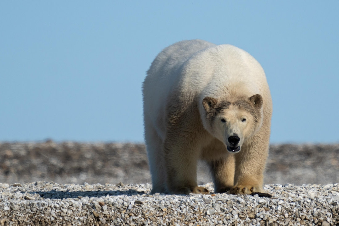
Spitsbergen
The largest island of Svalbard, Spitsbergen spans 39,044 square km (15,075 square miles) and is the only one with a permanent human population. Historically, the archipelago was called Spitsbergen, while the island itself was known as West Spitsbergen. Some, particularly the Dutch, still debate whether the island group should be called Svalbard or Spitsbergen. However, most of the world recognizes these islands as Svalbard.
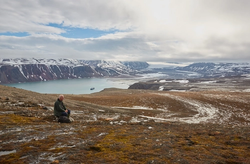
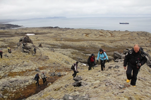
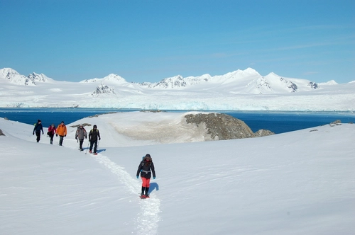
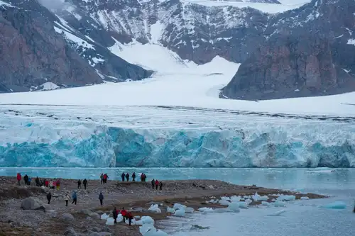
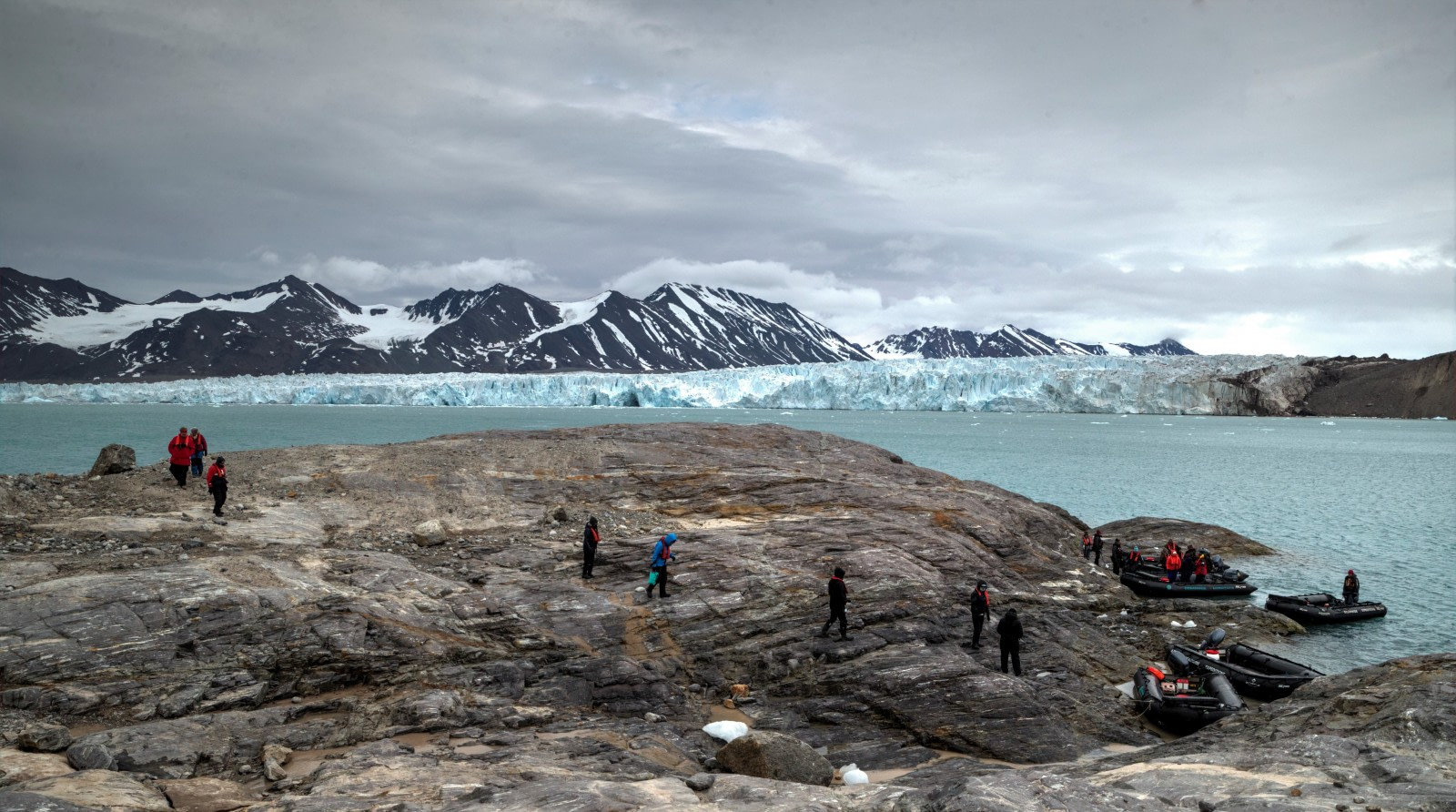
Spitsbergen is known for its deep fjords and towering mountains, which is why it was named "pointed mountains" in Dutch. The western part of the island features wild alpine landscapes, with glaciers cascading into the sea and peaks exceeding 1,000 meters (3,000 feet). The eastern part has fewer fjords and a thick ice cover due to the absence of the Gulf Stream and snowfall from the east. The central region is drier and has fewer glaciers, making it more suitable for hiking and wildlife viewing.
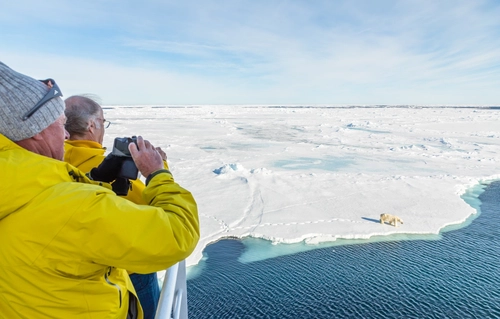
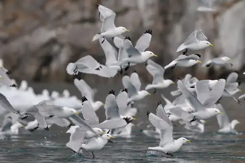
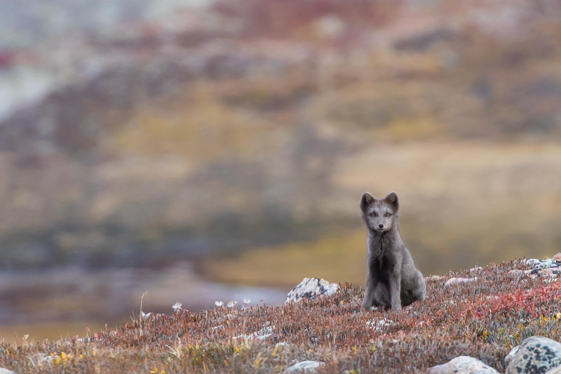
The ice-free areas of Spitsbergen are among the most fertile in Svalbard, home to reindeer, Arctic foxes, and various seabirds like kittiwakes. Polar bears are also commonly seen, making Svalbard one of the best places to observe these majestic creatures. The fertile regions of Spitsbergen are ideal for hiking, offering abundant wildlife and fewer glaciers.
Nordaustlandet
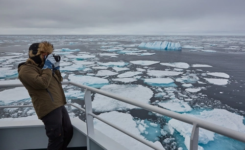
Nordaustlandet, translating to Northeast Land, is the second largest island in Svalbard, covering nearly 15,000 square km (5,800 square miles). Its north coast is farther north than the main island, resulting in a High Arctic climate. Without the Gulf Stream, Nordaustlandet is typically iced over in winter and partially or fully covered even in summer. The ice is so thick that even reinforced vessels cannot circumnavigate the island during this time.
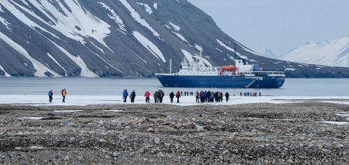
The northern part of Nordaustlandet is usually ice-free due to wind and ocean currents, revealing steep fjords. The east and south, however, remain hidden under thick ice. Despite sparse vegetation, the island supports diverse wildlife, including reindeer, Arctic foxes, seabirds, seals, walruses, and polar bears. Human presence is minimal, with only a few automated weather stations. Nordaustlandet's remoteness makes it a popular destination for Arctic trips, often visited during Spitsbergen circumnavigations or voyages to northern Svalbard.
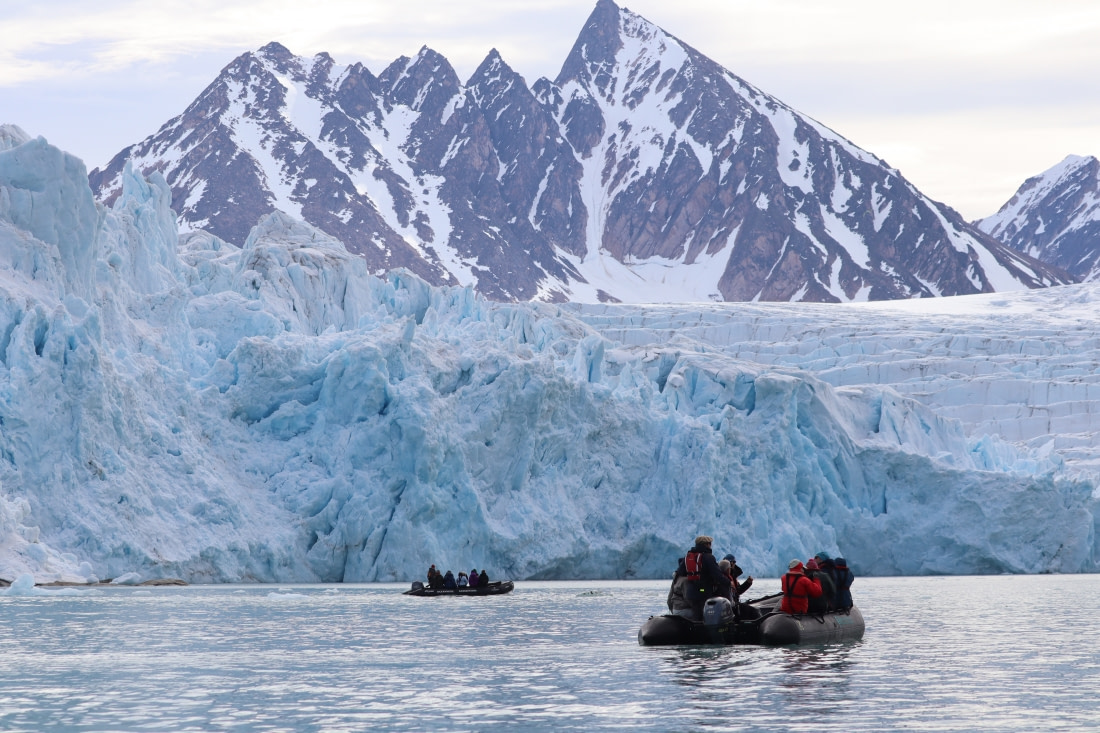
Edgeøya
Edgeøya, the third largest island in Svalbard, covers 5,100 square km (2,000 square miles). It has a High Arctic climate influenced by eastern ocean currents, resulting in ice-packed seas even in summer. The island's landscape is primarily plateau-like, cut by glaciers, with the west and north parts typically ice-free, unlike the thickly iced east.
There are no permanent settlements on Edgeøya, only a few scientific research cabins and remnants of old whaling and walrus hunting cabins from the mid-1600s. The island's flat islets serve as fertile breeding grounds for geese, ducks, auks, and other seabirds. The walrus and seal populations have recovered from past hunting. Edgeøya is also one of the best places to see reindeer and polar bears in Svalbard. Its infrequent visits add to its allure, often featured in several Svalbard cruises.
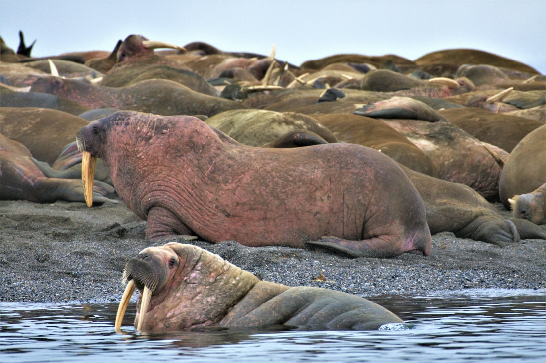
Barentsøya
Barentsøya, part of the Søraust-Svalbard Nature Reserve, is nearly half glaciated. Until 1858, it was thought to be part of Edgeøya until a separating channel was discovered. The island's volcanic landscape supports rich plant life on the tundra, sustaining a decent reindeer population. Steep cliffs host kittiwake colonies, attracting Arctic foxes, and the island is a crucial migration and denning area for polar bears. Named after Dutch navigator Willem Barentsz, Barentsøya offers a ruggedly scenic environment.
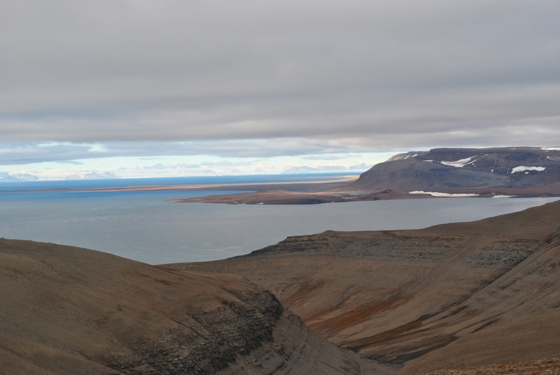
Kvitøya
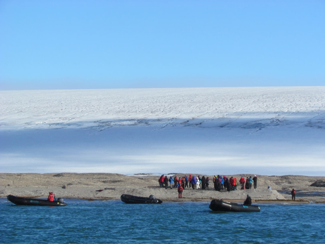
Kvitøya, known as "White Island," is covered by a thick ice dome, with some parts over 400 meters (1,300 feet) thick. Close to the Russian border, visitors can view the colossal icecap of Kvitøyjøkulen. While the island has limited wildlife, its clear spots host Arctic terns, red-throated divers, and polar bears. Birds arrive during the breeding season, and a healthy walrus population uses the island as a haul-out area.
Bjørnøya
Bjørnøya, or Bear Island, is Svalbard's southernmost island, located about halfway between Spitsbergen's southern tip and the Norwegian mainland. The island's dramatic coast features cliffs and rock formations, including the famous Perleporten, a massive tunnel under Kapp Kolihoff.
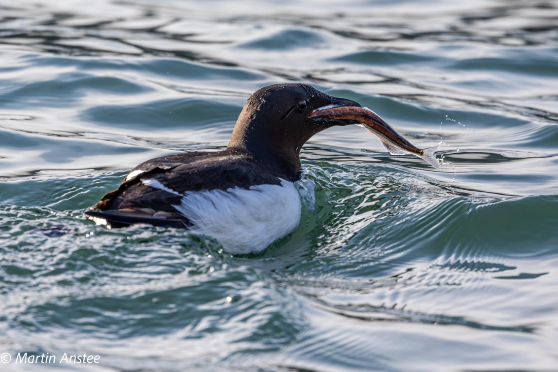
Bjørnøya's mid-latitudinal position supports diverse flora and fauna, with birds dominating the steep cliffs. These cliffs host some of the largest bird colonies in the Arctic, including guillemots, little auks, kittiwakes, and various gulls. The island is also home to many bearded and ringed seals.
Sjuøyane
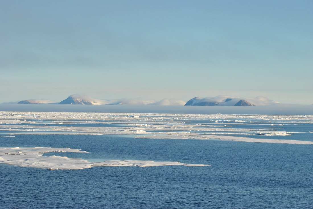
Our final entry is Sjuøyane, translating to "Seven Islands," located north of Nordaustlandet and part of the Northeast Svalbard Nature Reserve. These remote islands are known for their clinging plant life, colorful Arctic flowers, and striking geological formations. They support auks, guillemots, gulls, puffins, walruses, reindeer, Arctic foxes, and occasional polar bears. Being only 1,024 km (637 miles) from the North Pole, they are among the northernmost landmasses on Earth.
Title image by Viviane Declerck

Related Trips
Blog


The secrets of Antarctic seals revealed
Gough Island: Seabird Capital of the South Atlantic
Greenland: East vs. West
How Arctic Wildlife Differs from Antarctic
Humpback Whales: the Stars of the Western Antarctic Peninsula

Five of History’s Greatest Polar Explorers

The Arctic Hare: Easter Bunny
Weddell Sea, Shackleton’s Endurance, and New Swabia
10 Traits of Post-Ice-Age Greenland
Islands of the Blessed: Things to Do Around Cape Verde
All About Ice: Glaciers and Icebergs of the Arctic and Antarctica
Amazing Greenland
Polar bear feast
Kayaking In Greenland
Harp seals harping on in Greenland

Inside the Svalbard Global Seed Vault
16 Conversation-Starting Svalbard Facts
Scenes from St. Andrews Bay: 12 Pics of Penguins, Seals, and More
Antarctica’s Hourglass Dolphin



 8 Days / 7 Nights

