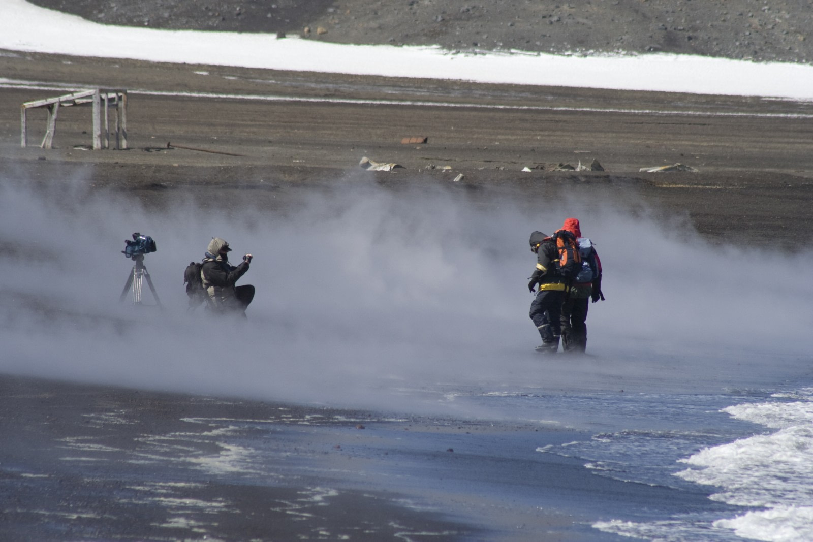
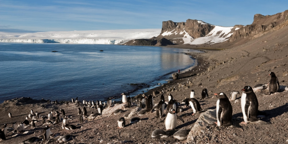
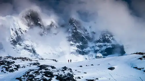
In Antarctica, the South Shetland archipelago is home to Deception Island, a volcanic-rounded island that is 15 km in diameter with a shield volcano. The volcano is mainly basalt-andesite and was one of the first parts of Antarctica to be discovered, probably around 1820 by UK and USA sealers.
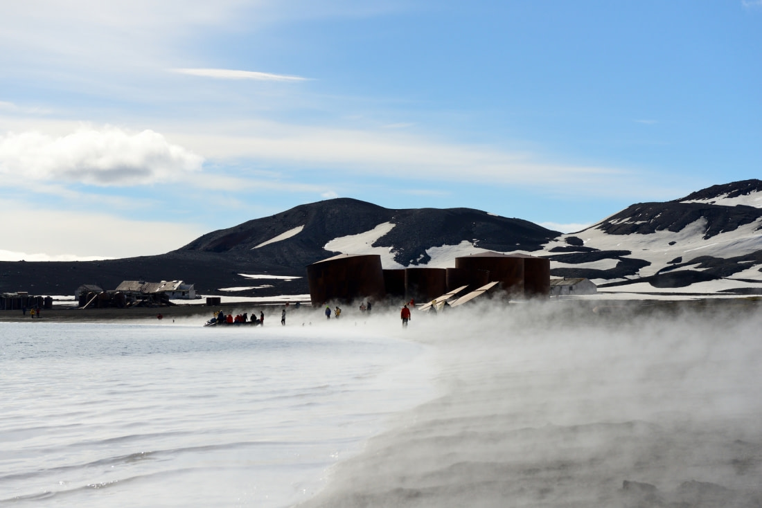
Deception Island has the longest history of human occupation than any other site in Antarctica. The island served as a whaling station for the first 30 years of the 20th century, as the site of a British Antarctic station, then Chilean and Argentine stations.
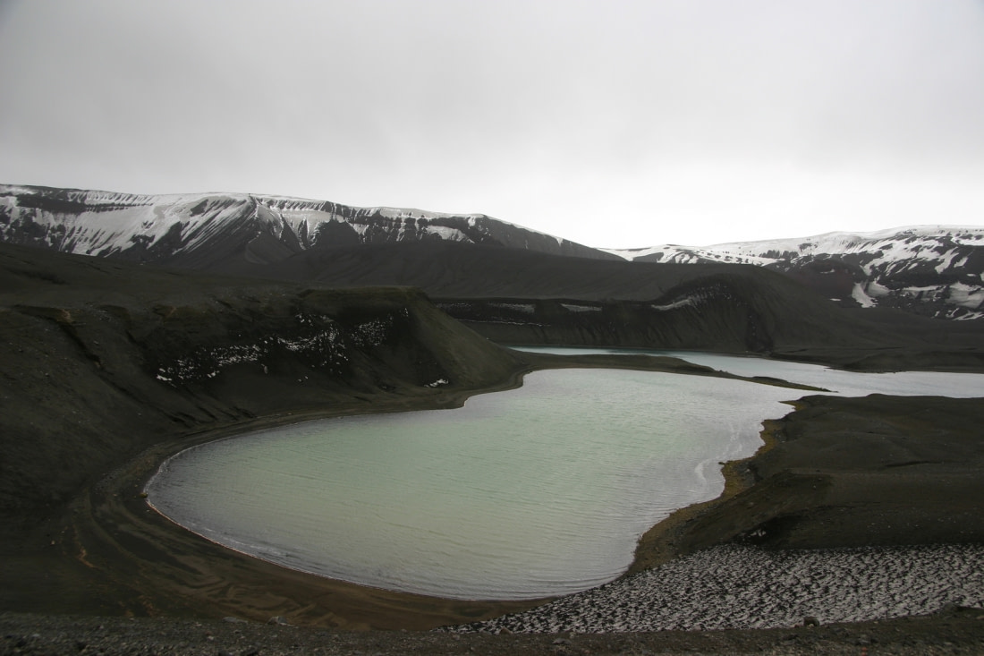
The flooded caldera of Deception Island
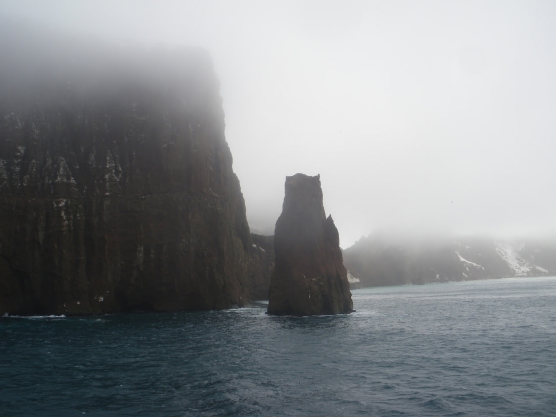
On the island, the large bay of Port Foster is at the center of the flooded caldera, which covers most of the island at about 9 km in diameter. It has a narrow entrance called Neptune’s Bellows that is only 230 meters wide, with Raven Rock in the middle of the inlet submerged under 2.5 meters of water, making entrance to the bay difficult.
Across Deception Island, there is Mount Pond, 539 meters high, then an unnamed peak at 576 meters, while the caldera itself has a depth of less than 200 meters. The caldera was formed following the largest-known Antarctic eruption that expelled 30-60 cubic kilometers of magma. The age of the eruption is unknown; however, scientists believe that the eruption was caused somewhat by regional geological activity.
The rift zone
Deception Island is in the middle of the Bransfield Strait, 125 miles north of the Antarctic Peninsula. The strait is part of a mini-rift that is opening at the rate of 1 cm per year and is the last of a series of transform faults and mini-rifts that succeed south of the tectonic plate Scotia and join in the far east the junction point between the African, South American, and Antarctic plates. According to geologists, the rift will be short-lived in geological terms with some estimates that it will stop in a few hundred thousand years.
Monitoring volcanic activity
Humans have been recording volcanic eruptions on Deception Island with the first in 1790, followed by eruptions in 1828, 1842. In the 20th century, there were two volcanic eruption periods, from 1906 to 1910 and from 1967 to 1970. It was during the eruptions over 1967-1970 that the British and Chilean Antarctic stations were destroyed. Today the stations that are situated there are the original Argentine station and since the late 1980s Spain’s summer-only station.
Deception Island deceptively active
During the 1967 eruption, there was unrest in April followed by the new eruption on December 4th. The new eruption opened new vents along a 5-kilometer-long fissure in the northern part of the caldera and a new island formed on the western side of what is known as Telefon Bay.
In 1969, there was a short-lived eruption on Deception Island with a series of fissures forming under a thin glacier about 100 meters thick over a distance of 4 kilometers. The eruption created a large and sudden discharge of meltwater that overflowed the glacier, severely damaging buildings on the island.
Following this, the volcano erupted again in 1970. The first signs that the volcano was about to erupt came from observers on research stations on the Antarctic Peninsula. O’Higgins Antarctic base (Argentina), located 170 kilometers from Deception Island, recorded a significant earthquake on August 12th. On August 13th, Bellingshausen Station, located 110 kilometers to the south, received an ash fall as well as a strong odor of sulfur.
Meanwhile, other Antarctic stations along the Peninsula recorded similar events including electric storms. The eruption was one of the most violent ever recorded on Deception Island with it beginning with phreatomagmatic explosions that are caused by the mixing of seawater and magma.
The eruption opened fissures with 5 marine and 7 subaerial vents, one of which formed under glacial ice. The last main volcanic events on the island occurred in 1987 and 1991: In 1987 satellite images showed a plume from Deception Island on July 23rd that extended around 100 kilometers southeast. During this event, local seismic activity was detected but there was no evidence of an eruption found during later field surveys.
Meanwhile in 1991 increased seismic activity and water temperatures were detected in the caldera during the summer sea by Spanish and Argentine scientists, however, no eruption occurred.
The volcano springs to life
Since 1989, the Spanish Antarctic Program has conducted monitoring at Deception Island during the summer period. This work is carried out by researchers from the University of Granada and University of Cadiz, Spain in collaboration with other research institutions. Over the period 2014-2015 the survey noted sustained deformation and increased seismicity.
To gather data, researchers deploy a temporary seismic network made up of five three-component, short-period seismic stations and a small-aperture seismic array. Data from this network is transmitted to the Gabriel de Castilla Spanish base where it is analyzed in real-time.
Variations in distance between GPS stations since 2013 have revealed a steady increase in distance of around 5 cm/year. The 2014-2015 survey shows an accumulated deformation of 10 cm. The scientists believe this deformation is in response to a pressure source under Port Foster.
Compared to previous years this seismic activity was considered to be intense with the total number of events recorded an order of magnitude larger than previous years and by far the most activity recorded since unrest in 1999. During this period both tectonic and volcano-tectonic-related earthquakes were common, but most were too small to be recorded adequately over the entire network so they could not be located.
Nonetheless, the data recorded once cluster of earthquakes centered southeast of Livingston Island, which was active during the whole survey, and another cluster located southwest of Deception Island, with the remainder at distances of 5-20 kilometers.
A friendly alert system
Because the Spanish seismologists spend around three months each year on Deception Island (generally between late November and late February), which also corresponds to the major period of human activity on the island, they also provide volcanic warnings to the island’s visitors including masters of vessels intending to arrive at the island and pilots of aircraft flying near the island.
The warnings are color-coded and come through bulletins from either Gabriel de Castilla Station (Spain) or from a spokesperson from one of the other national Antarctic programs such as the Argentine Antarctic Institute, British Antarctic Survey or National Science Foundation. The alerts specifically are:
- Green – no eruption is anticipated. During this time the volcano is quiet, in a dormant state, which is normal for the island
- Yellow – no eruption is possible in the next few weeks and may occur with little or no warning. During this time the volcano is restless and there are increased levels of small earthquakes locally and/or increased volcanic gas emissions
- Orange – explosive eruption occurring or is possible within a few days and may occur with little or no warning. During this time the volcano is erupting or about to erupt and there is an increased numbers and/or magnitudes of local earthquakes. When it does erupt ash plumes are not expected to reach 10,000 m above sea level. While around the volcano there may be lava flows visible
- Red – major explosive eruption is in progress or will happen within a 24-hour period. During this time, large ash plumes are expected to exceed 10,000 m above sea level. Meanwhile, strong earthquakes are detected even at distant monitoring stations


Blog


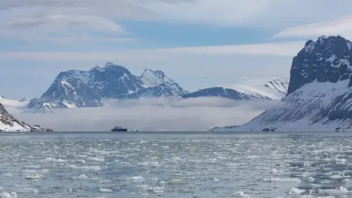
Six Must-See Svalbard Sites

The Giant Petrels of King George Island

Traditional Lifestyles of the Inuit

Seven Sublime Antarctic Bays
10 Tried-and-True Bird Photography Tips
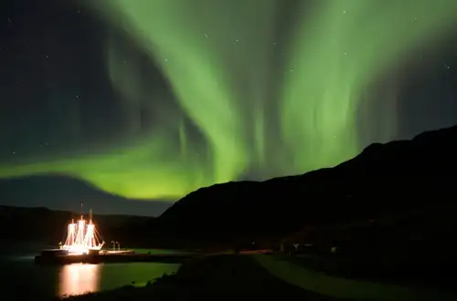
The Northern Lights dancing across the skies
The Ways and Wildlife of the Weddell Sea
Eight Ultimate Antarctica Adventures

Top 10 Tips for Packing Your Polar Photography Equipment
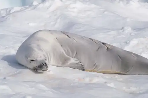
Six Facts About the Crabeater Seals of Antarctica

Earth vs. Mars: Polar Regions Compared
Flowers in Antarctica
How Arctic Wildlife Differs from Antarctic

Two for the Snow: Polar Cruises for Couples
Inside the Svalbard Global Seed Vault
The first race to the South Pole in 50 years
Eight Antarctic Misconceptions
Albatross, penguin and krill research in Antarctica

The World Is Changing for Greenland's Native Inuit People